
Morron de Alhama from Collado Mangueta
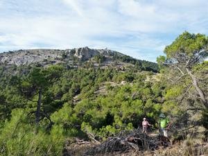
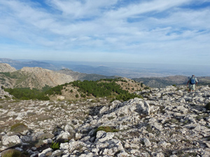
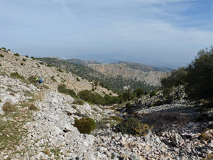
On high level ridges and trails across Espuna
Spanish maps included within these descriptions are provided courtesy of the Spanish IGN and remain © Instituto Geográfico Nacional.
OSM (OpenStreetMap) and OCM (OpenCycleMap) maps are © OpenStreetMap Contributors. The OSM project welcomes contributions from all to enrich the map data, which is made freely available. Land (Thunderforest Landscape) maps are © Thunderforest based on data © OpenStreetMap contributors.
The grade of this walk is M/B, which means
M – Moderate: up to 12km in length, less than 400 metres ascent and less than 50% rough going.
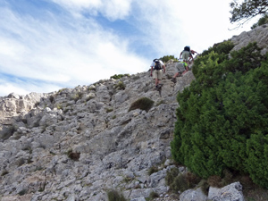
B – Less than half the route on rough ground
| Nearest town | El Berro |
| Directions to start |
Leave El Berro to the S on the Calle Juan Batista and drive past the Casa Forestal Quemados. At the T-jnc, turn R. At the next junction turn R signed to La Perdiz. At the next T-jnc, turn R again. At the third complex jnc turn R almost back on yourself and soon arrive at the Collado. (about 35mins from El Berro) |
| Start point (Lat/Long) | 37.869874, -1.568041 Click here to view in Google Maps (in a new browser tab) |
| Length (km) | 9.00 |
| Ascent (metres) | 425 |
| Walking time (hours) | 3.00 |
| Total time (hours) | 5.00 |
| Recommendations or Restrictions | None |
Download walk descriptionDownload GPS file
Comments
Morron de Alhama from Collado Mangueta — No Comments
HTML tags allowed in your comment: <a href="" title=""> <abbr title=""> <acronym title=""> <b> <blockquote cite=""> <cite> <code> <del datetime=""> <em> <i> <q cite=""> <s> <strike> <strong>