
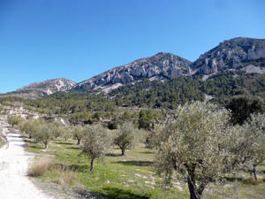
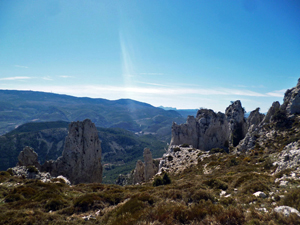
Pla de la Casa from Quatretondeta
At 1371m (4524 ft) Pla de la Casa is the highest point on the Sierra de Serrella ridge with fantastic rock formation (Els Frares), a huge nevera on the way with breath-taking views. All on well-defined Y/W marked paths
Spanish maps included within these descriptions are provided courtesy of the Spanish IGN and remain © Instituto Geográfico Nacional.
OSM (OpenStreetMap) and OCM (OpenCycleMap) maps are © OpenStreetMap Contributors. The OSM project welcomes contributions from all to enrich the map data, which is made freely available. Land (Thunderforest Landscape) maps are © Thunderforest based on data © OpenStreetMap contributors.
The grade of this walk is VS/C, which means
VS – Very Strenuous: More than 800 metres ascent and/or more than 20km in length with steep, loose or heavily vegetated sections.
C – More than half the route on rough ground.
| Nearest town | Quatretondeta |
| Directions to start |
Travelling from Castell de Castells on CV720 turn L at Facheca onto the CV754 to Quatretondeta. Park at entrance to the village near the rubbish bins. |
| Start point (Lat/Long) | 38.725047, -0.314562 Click here to view in Google Maps (in a new browser tab) |
| Length (km) | 12.50 |
| Ascent (metres) | 875 |
| Walking time (hours) | 4.00 |
| Total time (hours) | 5.75 |
| Recommendations or Restrictions | None |
Download walk descriptionDownload GPS file
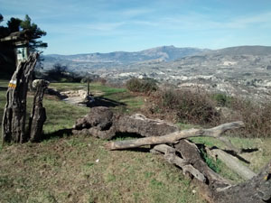
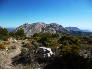
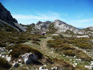
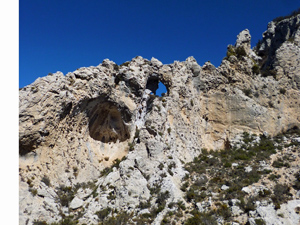
This is really a breathtaking walk with stunning views and amazing nevera near the top. A good long climb for the first half makes it feel longer than it is. Still, I didn’t really want to leave.