
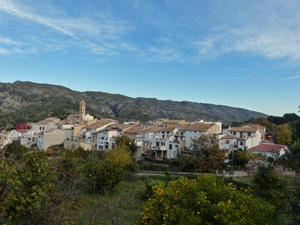
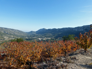
Los Cinco Pueblos de Beniali
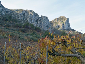
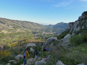
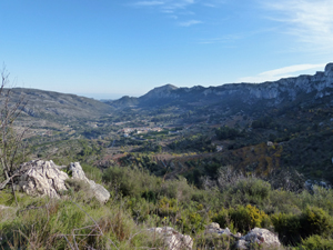
A circuit route that takes you upwards towards the Forada ridge, under the forat and visits five of the eight villages in the beautiful Vall de Gallinera.
Spanish maps included within these descriptions are provided courtesy of the Spanish IGN and remain © Instituto Geográfico Nacional.
OSM (OpenStreetMap) and OCM (OpenCycleMap) maps are © OpenStreetMap Contributors. The OSM project welcomes contributions from all to enrich the map data, which is made freely available. Land (Thunderforest Landscape) maps are © Thunderforest based on data © OpenStreetMap contributors.
The grade of this walk is MS/A, which means
MS – Moderately Strenuous: Up to 600 metres ascent and/or no more than 15 km in length with some rough going taken at a reasonable pace.
A – All on good tracks
| Nearest town | Beniali |
| Directions to start |
Follow the CV700 from Pego, through Adsubia and on to Beniali. Park in car park (with bins) just before you enter the village |
| Start point (Lat/Long) | 38.821859, -0.219969 Click here to view in Google Maps (in a new browser tab) |
| Length (km) | 13.25 |
| Ascent (metres) | 520 |
| Walking time (hours) | 3.50 |
| Total time (hours) | 5.00 |
| Recommendations or Restrictions | None |
Download walk descriptionDownload GPS file
Comments
Los Cinco Pueblos de Beniali — No Comments
HTML tags allowed in your comment: <a href="" title=""> <abbr title=""> <acronym title=""> <b> <blockquote cite=""> <cite> <code> <del datetime=""> <em> <i> <q cite=""> <s> <strike> <strong>