
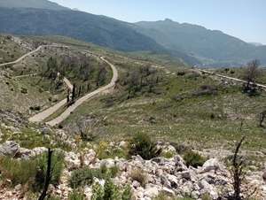
Pla de Petracos and Alfaro Slopes
A glorious walk high above the Barranco de Malafi with a tough ascent followed by easy return walking.
Spanish maps included within these descriptions are provided courtesy of the Spanish IGN and remain © Instituto Geográfico Nacional.
OSM (OpenStreetMap) and OCM (OpenCycleMap) maps are © OpenStreetMap Contributors. The OSM project welcomes contributions from all to enrich the map data, which is made freely available. Land (Thunderforest Landscape) maps are © Thunderforest based on data © OpenStreetMap contributors.
The grade of this walk is MS/B, which means
MS – Moderately Strenuous: Up to 600 metres ascent and/or no more than 15 km in length with some rough going taken at a reasonable pace.
B – Less than half the route on rough ground
| Nearest town | Castell de Castells |
| Directions to start |
Follow the CV720 W towards Castell de Castells and look out for a significant building on your RHS – Villa Mercedes. Here turn R towards “Petracos” and continue to reach a small tarmacked layby on your LHS. |
| Start point (Lat/Long) | 38.759130, -0.183578 Click here to view in Google Maps (in a new browser tab) |
| Length (km) | 12.00 |
| Ascent (metres) | 520 |
| Walking time (hours) | 3.66 |
| Total time (hours) | 5 |
| Recommendations or Restrictions | Steep rocky ascent in the first part of the day |
Download walk descriptionDownload GPS file
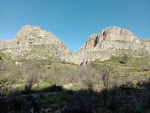
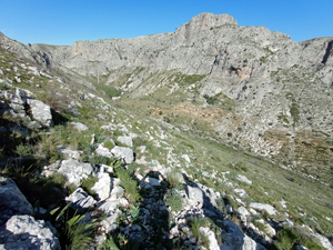
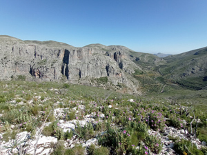
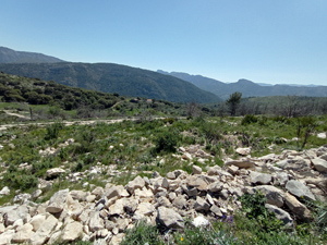
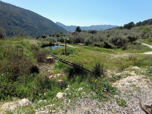
Great views the whole way.
Ascent from 2.4km up the mountain was very difficult – very overgrown out of the riverbed, which made the path almost impossible to find, & then really difficult to follow the cairns up as they either no longer exist or are very difficult to see until you stumble across them. I paid very close attention to the GPX trace & still went “off piste” several times, requiring quite unpleasant scrambles to get back on track.
Only 4/5 as the large majority of the last 8km is on concrete tracks – good views & you do cover distance quite quickly but not great to walk on.