
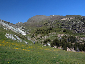
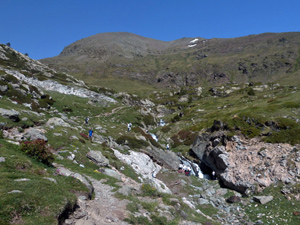
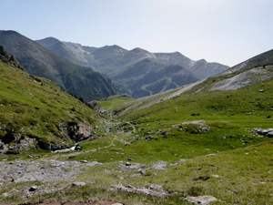
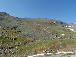
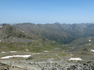
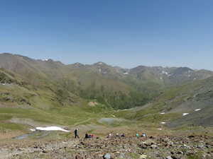
Puigmal from Nuria
A challenging walk to the summit of the highest mountain in this area and one of Catalunya’s highest peaks with spectacular views both during the ascent and from the summit.
Spanish maps included within these descriptions are provided courtesy of the Spanish IGN and remain © Instituto Geográfico Nacional.
OSM (OpenStreetMap) and OCM (OpenCycleMap) maps are © OpenStreetMap Contributors. The OSM project welcomes contributions from all to enrich the map data, which is made freely available. Land (Thunderforest Landscape) maps are © Thunderforest based on data © OpenStreetMap contributors.
The grade of this walk is VS/B, which means
VS – Very Strenuous: More than 800 metres ascent and/or more than 20km in length with steep, loose or heavily vegetated sections.
B – Less than half the route on rough ground.
| Nearest town | Queralbs |
| Directions to start |
The start can only be reached by using the rack railway that starts in Ribes de Freser and stops at Queralbs where there is a large car park at the station. Cost in 2019 was €19.50 return. |
| Start point (Lat/Long) | 42.397541, 2.154548 Click here to view in Google Maps (in a new browser tab) |
| Length (km) | 10.00 |
| Ascent (metres) | 980 |
| Walking time (hours) | 4 |
| Total time (hours) | 6 |
| Recommendations or Restrictions | Initial descent from summit demands care for several kilometres. Challenging mountain walk. |
Download walk descriptionDownload GPS file
Comments
Puigmal from Nuria — No Comments
HTML tags allowed in your comment: <a href="" title=""> <abbr title=""> <acronym title=""> <b> <blockquote cite=""> <cite> <code> <del datetime=""> <em> <i> <q cite=""> <s> <strike> <strong>