
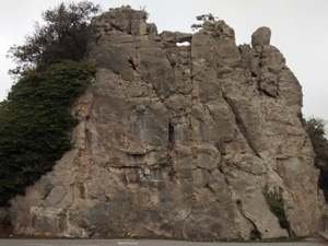
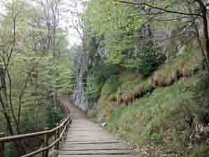
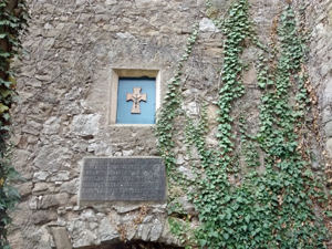
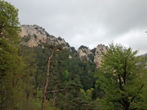
Queralt circuit
A varied walk around the rugged Queralt ridge and across to Espinabet with a similar return through woodland with fantastic features near the end of the walk.
Spanish maps included within these descriptions are provided courtesy of the Spanish IGN and remain © Instituto Geográfico Nacional.
OSM (OpenStreetMap) and OCM (OpenCycleMap) maps are © OpenStreetMap Contributors. The OSM project welcomes contributions from all to enrich the map data, which is made freely available. Land (Thunderforest Landscape) maps are © Thunderforest based on data © OpenStreetMap contributors.
The grade of this walk is MS/A, which means
MS – Moderately Strenuous: Up to 600 metres ascent and/or no more than 15 km in length with some rough going taken at a reasonable pace.
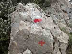
A – All on good tracks
| Nearest town | Berga |
| Directions to start |
The C16 leads northwards from Barcelona to the French border and the Cadi tunnel. Near to Berga take the N exit and follow signs to the Santuari de Queralt on the B4241 and then turn R onto the B4242 to follow this road up to the Santuari. Park in either car park. |
| Start point (Lat/Long) | 42.107759, 1.828399 Click here to view in Google Maps (in a new browser tab) |
| Length (km) | 8.50 |
| Ascent (metres) | 410 |
| Walking time (hours) | 2.50 |
| Total time (hours) | 3.50 |
| Recommendations or Restrictions | None |
Download walk descriptionDownload GPS file
Comments
Queralt circuit — No Comments
HTML tags allowed in your comment: <a href="" title=""> <abbr title=""> <acronym title=""> <b> <blockquote cite=""> <cite> <code> <del datetime=""> <em> <i> <q cite=""> <s> <strike> <strong>