
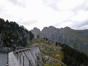
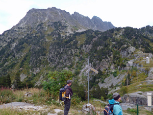
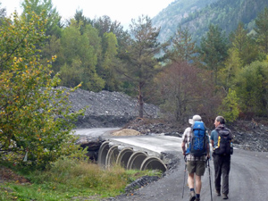
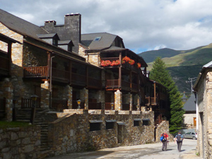
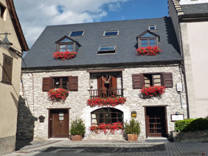
Refugio Restanca to Arties
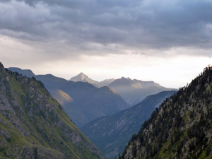
An easy retreat from the high mountains to the valley floor using paths, tracks and some roads with grand scenery all around.
Spanish maps included within these descriptions are provided courtesy of the Spanish IGN and remain © Instituto Geográfico Nacional.
OSM (OpenStreetMap) and OCM (OpenCycleMap) maps are © OpenStreetMap Contributors. The OSM project welcomes contributions from all to enrich the map data, which is made freely available. Land (Thunderforest Landscape) maps are © Thunderforest based on data © OpenStreetMap contributors.
The grade of this walk is MS/A, which means
MS – Moderately Strenuous: Up to 600 metres ascent and/or no more than 15 km in length with some rough going taken at a reasonable pace.
A – All on good tracks
| Nearest town | Arties |
| Directions to start |
Arties. Refugio Restanca – a remote point for start based on prior walk in to Refugio. |
| Start point (Lat/Long) | 42.635222, 0.853565 Click here to view in Google Maps (in a new browser tab) |
| Length (km) | 11.00 |
| Ascent (metres) | -980 |
| Walking time (hours) | 3.00 |
| Total time (hours) | 3.50 |
| Recommendations or Restrictions | Starts from overnight accommodation at Refugio Restanca. Can walk in conjunction with walk from Espitau to refugio.
NOTE – GPS TRACK IS INITIAL DESCENT ONLY |
Download walk descriptionDownload GPS file
Comments
Refugio Restanca to Arties — No Comments
HTML tags allowed in your comment: <a href="" title=""> <abbr title=""> <acronym title=""> <b> <blockquote cite=""> <cite> <code> <del datetime=""> <em> <i> <q cite=""> <s> <strike> <strong>