
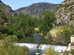
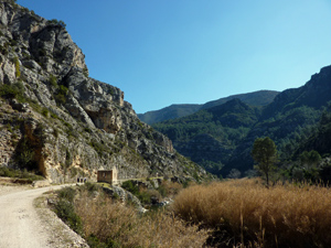
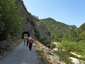
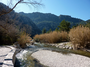
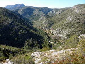
Rio Serpis to Hydro Station, return by Camino Real
A riverside walk along an old railway track with tunnels before returning by a steep climb and a fairly gentle descent back to the cars
Spanish maps included within these descriptions are provided courtesy of the Spanish IGN and remain © Instituto Geográfico Nacional.
OSM (OpenStreetMap) and OCM (OpenCycleMap) maps are © OpenStreetMap Contributors. The OSM project welcomes contributions from all to enrich the map data, which is made freely available. Land (Thunderforest Landscape) maps are © Thunderforest based on data © OpenStreetMap contributors.
The grade of this walk is M/B, which means
M – Moderate: up to 12km in length, less than 400 metres ascent and less than 50% rough going.
B – Less than half the route on rough ground
| Nearest town | Villalonga |
| Directions to start |
Enter Villalonga from Gandia (cv680). At roundabout next to Mercadona turn right. At next roundabout turn left and at next roundabout go straight ahead passing school on your left. Follow this road for 3.6km passing the Font de Reprimala and then an old Quarry to park near an information board |
| Start point (Lat/Long) | 38.876110, -0.243260 Click here to view in Google Maps (in a new browser tab) |
| Length (km) | 10.10 |
| Ascent (metres) | 328 |
| Walking time (hours) | 3 |
| Total time (hours) | 4 |
| Recommendations or Restrictions | Walk is busy at weekends and fiestas. Many bikes on the railway line. Torch useful for tunnels Option to return following the outward route to avoid the moderate climb. There is no drinking water on the route |
Download walk descriptionDownload GPS file

Comments
Rio Serpis to Hydro Station, return by Camino Real — No Comments
HTML tags allowed in your comment: <a href="" title=""> <abbr title=""> <acronym title=""> <b> <blockquote cite=""> <cite> <code> <del datetime=""> <em> <i> <q cite=""> <s> <strike> <strong>