
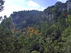
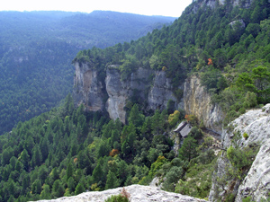
Tossal del Tres Reyes
A pleasant stroll through woodland up to the boundary summit between Valencia, Catalunya and Aragon. Then via a second summit dwon forest tracks to join the GR7 and return on paths to Fredes.
Spanish maps included within these descriptions are provided courtesy of the Spanish IGN and remain © Instituto Geográfico Nacional.
OSM (OpenStreetMap) and OCM (OpenCycleMap) maps are © OpenStreetMap Contributors. The OSM project welcomes contributions from all to enrich the map data, which is made freely available. Land (Thunderforest Landscape) maps are © Thunderforest based on data © OpenStreetMap contributors.
The grade of this walk is S/B, which means
S – Strenuous: More than 600 metres ascent and/or more than 15km in length with steep, loose or heavily vegetated sections.
B – Less than half the route on rough ground.
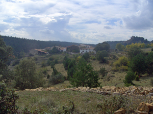
| Nearest town | Fredes |
| Directions to start |
From La Senia take the CV105 and then CV106 directly to the parking area. |
| Start point (Lat/Long) | 40.705648, 0.169917 Click here to view in Google Maps (in a new browser tab) |
| Length (km) | 14.70 |
| Ascent (metres) | 700 |
| Walking time (hours) | 4.00 |
| Total time (hours) | 5.50 |
| Recommendations or Restrictions |
Download walk descriptionDownload GPS file
Comments
Tossal del Tres Reyes — No Comments
HTML tags allowed in your comment: <a href="" title=""> <abbr title=""> <acronym title=""> <b> <blockquote cite=""> <cite> <code> <del datetime=""> <em> <i> <q cite=""> <s> <strike> <strong>