
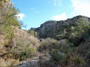
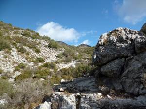
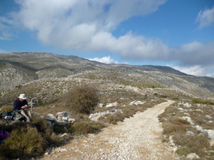
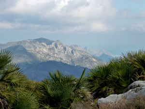
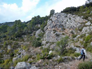
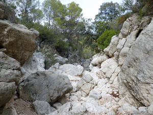
Trasero de Caballo
Ascent through barranco Seques, over col de Garga and return via mix of mozarabic trails and interesting river bed. Can be scratchy and some scrambling
Spanish maps included within these descriptions are provided courtesy of the Spanish IGN and remain © Instituto Geográfico Nacional.
OSM (OpenStreetMap) and OCM (OpenCycleMap) maps are © OpenStreetMap Contributors. The OSM project welcomes contributions from all to enrich the map data, which is made freely available. Land (Thunderforest Landscape) maps are © Thunderforest based on data © OpenStreetMap contributors.
The grade of this walk is MS/C/Scr, which means
MS – Moderately Strenuous: Up to 600 metres ascent and/or no more than 15 km in length with some rough going taken at a reasonable pace.
C – More than half the route on rough ground.
Scr – Scrambling: This implies the need for handholds to ascend steep rock pitches with a sense of exposure to vertigo and where a slip could lead to a serious accident.
| Nearest town | Benichembla |
| Directions to start |
Drive from Benigembla towards Castell de Castells on the CV720 to first bridge (km 4.5), cross bridge and park on other side on tarmac parking area (LHS). |
| Start point (Lat/Long) | 38.750619, -0.157928 Click here to view in Google Maps (in a new browser tab) |
| Length (km) | 11.50 |
| Ascent (metres) | 400 |
| Walking time (hours) | 3.25 |
| Total time (hours) | 4.00 |
| Recommendations or Restrictions |
Download walk descriptionDownload GPS file
Comments
Trasero de Caballo — No Comments
HTML tags allowed in your comment: <a href="" title=""> <abbr title=""> <acronym title=""> <b> <blockquote cite=""> <cite> <code> <del datetime=""> <em> <i> <q cite=""> <s> <strike> <strong>