
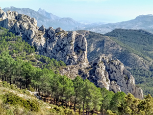
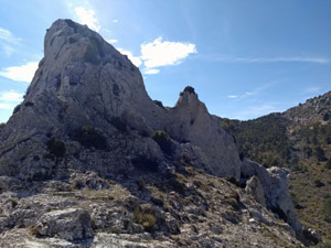
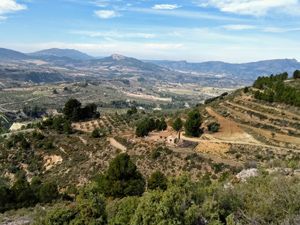
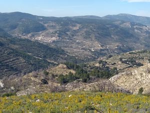
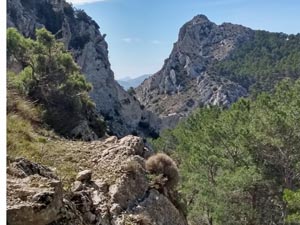
West Serrella
A circular walk, extensive views of the mountains through the Guadalest valley and across to Alcoy.
Spanish maps included within these descriptions are provided courtesy of the Spanish IGN and remain © Instituto Geográfico Nacional.
OSM (OpenStreetMap) and OCM (OpenCycleMap) maps are © OpenStreetMap Contributors. The OSM project welcomes contributions from all to enrich the map data, which is made freely available. Land (Thunderforest Landscape) maps are © Thunderforest based on data © OpenStreetMap contributors.
The grade of this walk is VS/C, which means
VS – Very Strenuous: More than 800 metres ascent and/or more than 20km in length with steep, loose or heavily vegetated sections.
C – More than half the route on rough ground.
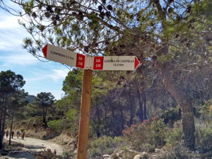
| Nearest town | Confrides |
| Directions to start |
CV70 Guadalest to Alcoy road, continue past Confrides until approx. Km 20.6 (before gift shop Rincon de Mermelada) park on layby at RHS on a LH corner. |
| Start point (Lat/Long) | 38.699282, -0.289632 Click here to view in Google Maps (in a new browser tab) |
| Length (km) | 14.00 |
| Ascent (metres) | 870 |
| Walking time (hours) | 3.75 |
| Total time (hours) | 5 |
| Recommendations or Restrictions | Although mostly on marked (Y/W.R/W ) paths some are steeply ascending and descending rough and rocky |
Download walk descriptionDownload GPS file
Comments
West Serrella — No Comments
HTML tags allowed in your comment: <a href="" title=""> <abbr title=""> <acronym title=""> <b> <blockquote cite=""> <cite> <code> <del datetime=""> <em> <i> <q cite=""> <s> <strike> <strong>