
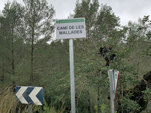
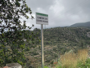
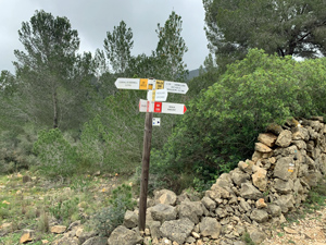
Tossal del Moro
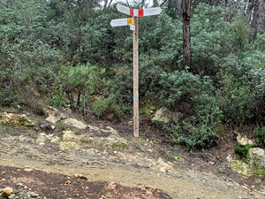
Exit Gata De Gorgos ascending along gorge. Now begin a loop climbing steadily in a clockwise direction to summit of Tossel Del Morro. Descend continuing in a clockwise direction back to top of gorge at edge of Gata De Gorgos. This completes the loop. Now return to Gata de Gorgos duplicating initial route. The walk is basically a pan handle configuration.
Spanish maps included within these descriptions are provided courtesy of the Spanish IGN and remain © Instituto Geográfico Nacional.
OSM (OpenStreetMap) and OCM (OpenCycleMap) maps are © OpenStreetMap Contributors. The OSM project welcomes contributions from all to enrich the map data, which is made freely available. Land (Thunderforest Landscape) maps are © Thunderforest based on data © OpenStreetMap contributors.
The grade of this walk is M/B, which means
M – Moderate: up to 12km in length, less than 400 metres ascent and less than 50% rough going.
B – Less than half the route on rough ground
| Nearest town | Gata de Gorgos |
| Directions to start |
Enter Gata de Gorgos using N332 from direction Ondara or Benissa and turn right or left depending on approach onto Calle Trossets then first right onto Carrer Pou De Pedreguer, car park on right. |
| Start point (Lat/Long) | 38.777780, 0.082324 Click here to view in Google Maps (in a new browser tab) |
| Length (km) | 13.00 |
| Ascent (metres) | 380 |
| Walking time (hours) | 4 |
| Total time (hours) | 4.75 |
| Recommendations or Restrictions | None |
Download walk descriptionDownload GPS file
Comments
Tossal del Moro — No Comments
HTML tags allowed in your comment: <a href="" title=""> <abbr title=""> <acronym title=""> <b> <blockquote cite=""> <cite> <code> <del datetime=""> <em> <i> <q cite=""> <s> <strike> <strong>