
Tossalet del Castellet (El Cao) Anticlockwise
This walk is currently not walkable (Oct 2025) because of building works affecting either the start or finish (or both!). If and when these are finished and access becomes clear then it will be re-instated.
Spanish maps included within these descriptions are provided courtesy of the Spanish IGN and remain © Instituto Geográfico Nacional.
OSM (OpenStreetMap) and OCM (OpenCycleMap) maps are © OpenStreetMap Contributors. The OSM project welcomes contributions from all to enrich the map data, which is made freely available. Land (Thunderforest Landscape) maps are © Thunderforest based on data © OpenStreetMap contributors.
The grade of this walk is MS/B, which means
MS – Moderately Strenuous: Up to 600 metres ascent and/or no more than 15 km in length with some rough going taken at a reasonable pace.
B – Less than half the route on rough ground
| Nearest town | Jalon |
| Directions to start |
Follow CV 750 from Jalon towards Benissa. After km8 turn first right towards entrance to Lady Elizabeth School (signposted Collegi Internacional). Park on road. |
| Start point (Lat/Long) | 38.728489, 0.015935 Click here to view in Google Maps (in a new browser tab) |
| Length (km) | 9.00 |
| Ascent (metres) | 490 |
| Walking time (hours) | 3 |
| Total time (hours) | 4.25 |
| Recommendations or Restrictions | None |
Download walk descriptionDownload GPS file
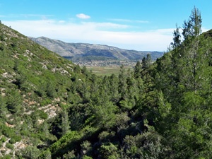
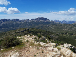
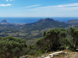
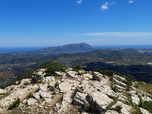
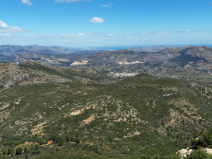
The path up the side of the Barranc is getting very overgrown and unpleasant. Don’t wear shorts! The rest of the route is fine with great views across the Jalon valley.