
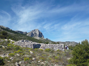
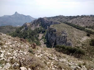
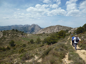
Aixorta from Bolulla castle
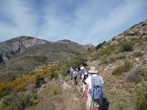
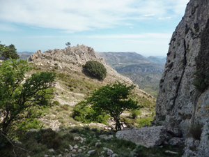
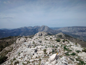
A testing round to the summit of Aixorta providing spectacular 360 degree views to all the surrounding mountains.
Spanish maps included within these descriptions are provided courtesy of the Spanish IGN and remain © Instituto Geográfico Nacional.
OSM (OpenStreetMap) and OCM (OpenCycleMap) maps are © OpenStreetMap Contributors. The OSM project welcomes contributions from all to enrich the map data, which is made freely available. Land (Thunderforest Landscape) maps are © Thunderforest based on data © OpenStreetMap contributors.
The grade of this walk is VS/B, which means
VS – Very Strenuous: More than 800 metres ascent and/or more than 20km in length with steep, loose or heavily vegetated sections.
B – Less than half the route on rough ground.
| Nearest town | Bolulla |
| Directions to start |
Follow the CV 715 either S from Parcent or N from Callosa d’en Sarria to km 45.7 and turn N. Drive approx 3.5km to end of paved road and park here. |
| Start point (Lat/Long) | 38.696167, -0.131562 Click here to view in Google Maps (in a new browser tab) |
| Length (km) | 14.00 |
| Ascent (metres) | 830 |
| Walking time (hours) | 4.00 |
| Total time (hours) | 6.00 |
| Recommendations or Restrictions | Navigational skills required for the rough sections, easy going on the tracks and marked footpaths. |
Download walk descriptionDownload GPS file
Comments
Aixorta from Bolulla castle — No Comments
HTML tags allowed in your comment: <a href="" title=""> <abbr title=""> <acronym title=""> <b> <blockquote cite=""> <cite> <code> <del datetime=""> <em> <i> <q cite=""> <s> <strike> <strong>