
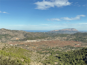
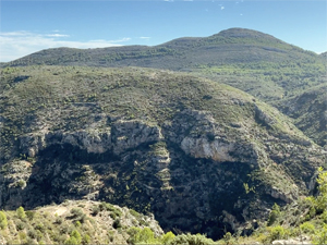
Alt del Ample Circuit from Jalon
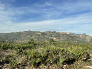
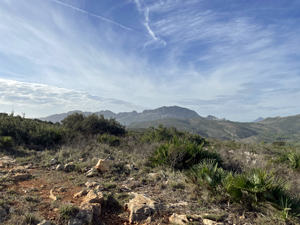
A magnificent walk around the upper slopes of Alt del Ample with panoramic views of surrounding sierras
Spanish maps included within these descriptions are provided courtesy of the Spanish IGN and remain © Instituto Geográfico Nacional.
OSM (OpenStreetMap) and OCM (OpenCycleMap) maps are © OpenStreetMap Contributors. The OSM project welcomes contributions from all to enrich the map data, which is made freely available. Land (Thunderforest Landscape) maps are © Thunderforest based on data © OpenStreetMap contributors.
The grade of this walk is M/A, which means
M – Moderate: up to 12km in length, less than 400 metres ascent and less than 50% rough going.
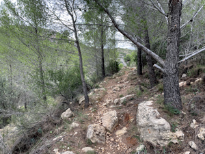
A – All on good tracks
| Nearest town | Jalon |
| Directions to start |
Jalon. Take CV749 Jalon to Bernia road. Parking area 600m past Km1 marker on RHS, just after cemetery road, opposite side to a large villa. |
| Start point (Lat/Long) | 38.730340, -0.015410 Click here to view in Google Maps (in a new browser tab) |
| Length (km) | 8.00 |
| Ascent (metres) | 370 |
| Walking time (hours) | 3 |
| Total time (hours) | 4 |
| Recommendations or Restrictions | None |
Download walk descriptionDownload GPS file
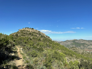
Pleasant walk. There is nothing to distinguish the first summit except that the path starts to descend slightly. For a better view of the Bernia continue for a further 300m to an opening at a house. Be careful to spot the y junction for the return. I don’t think I spotted it and took the first fairly minor path branching off right which petered out and led to a further 600m of awful bushwhacking to regain the path. I presume the proper path turn off is a bit further along.
The route managers have checked the route and believe that the instructions are adequate. The path junction is marked with a very large cairn………