
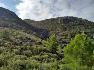
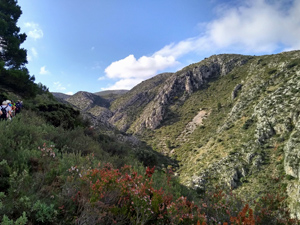
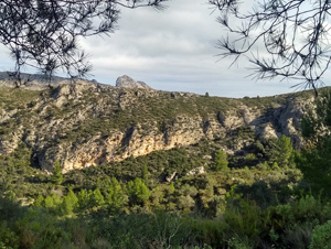
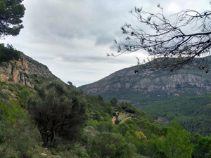
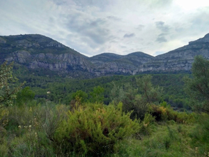
Tossal de la Creu (El Mirabo) via barranco Almadic
Gentle zig zag ascent to the col and on to El Mirabo/view point. Gentle walk down through woods back to village
Spanish maps included within these descriptions are provided courtesy of the Spanish IGN and remain © Instituto Geográfico Nacional.
OSM (OpenStreetMap) and OCM (OpenCycleMap) maps are © OpenStreetMap Contributors. The OSM project welcomes contributions from all to enrich the map data, which is made freely available. Land (Thunderforest Landscape) maps are © Thunderforest based on data © OpenStreetMap contributors.
The grade of this walk is MS/B, which means
MS – Moderately Strenuous: Up to 600 metres ascent and/or no more than 15 km in length with some rough going taken at a reasonable pace.
B – Less than half the route on rough ground
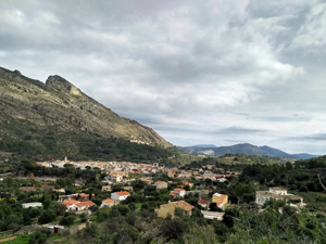
| Nearest town | Benichembla |
| Directions to start |
From Parcent take the CV-720 to Benichembla. Go straight across the roundabout and park near the Bar Bon Aire. |
| Start point (Lat/Long) | 38.754095, -0.111895 Click here to view in Google Maps (in a new browser tab) |
| Length (km) | 8.00 |
| Ascent (metres) | 450 |
| Walking time (hours) | 2.50 |
| Total time (hours) | 3.25 |
| Recommendations or Restrictions |
Download walk descriptionDownload GPS file
July 2022 – 2 loose dogs around the 4.25km mark, as you leave the path & move on to the track. They come from the farm/cattle ranch & crawl under its fence with ease.