
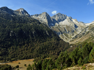
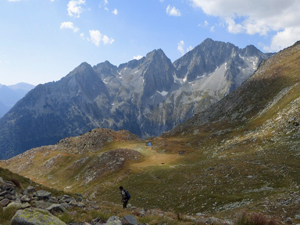
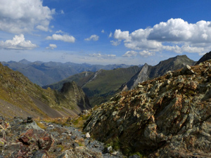
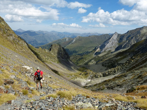
Espitau to Vielha via Puerta Vielha
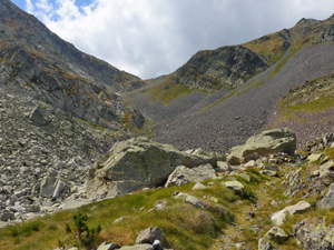
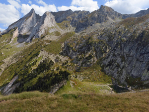
A demanding but always interesting ascent up to a col followed by a short scree descent and then a beautiful walk down the valley to Vielha. Most easily completed with a car shuffle. Buses only leave very early n the morning!
Spanish maps included within these descriptions are provided courtesy of the Spanish IGN and remain © Instituto Geográfico Nacional.
OSM (OpenStreetMap) and OCM (OpenCycleMap) maps are © OpenStreetMap Contributors. The OSM project welcomes contributions from all to enrich the map data, which is made freely available. Land (Thunderforest Landscape) maps are © Thunderforest based on data © OpenStreetMap contributors.
The grade of this walk is VS/B, which means
VS – Very Strenuous: More than 800 metres ascent and/or more than 20km in length with steep, loose or heavily vegetated sections.
B – Less than half the route on rough ground.
| Nearest town | Vielha |
| Directions to start |
Drive to the southern end of the tunnel from Vielha on the N230 and execute an about turn. Drive north and take the skip road to the “Old” tunnel – also marked for Dangerous Loads – peilgrosas – and then a further slip road up to the old hospital (espitau) which had been used as a refugio until recent years. (now closed). Park in the large car park there. |
| Start point (Lat/Long) | 42.627297, 0.762808 Click here to view in Google Maps (in a new browser tab) |
| Length (km) | 14.00 |
| Ascent (metres) | 1000 |
| Walking time (hours) | 4.75 |
| Total time (hours) | 6.75 |
| Recommendations or Restrictions | Summer route only |
Download walk descriptionDownload GPS file
Comments
Espitau to Vielha via Puerta Vielha — No Comments
HTML tags allowed in your comment: <a href="" title=""> <abbr title=""> <acronym title=""> <b> <blockquote cite=""> <cite> <code> <del datetime=""> <em> <i> <q cite=""> <s> <strike> <strong>