
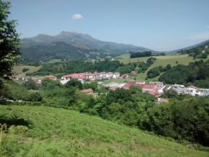
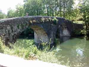
GR11 – Day 2 Irun to Bera de Bidasoa
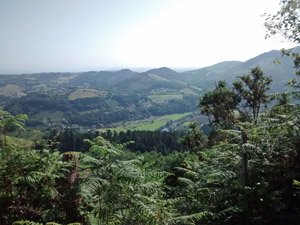
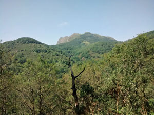
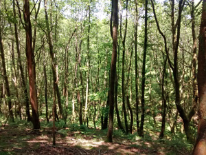
A great expedition in its own right with deciduous woods and high moors.
Spanish maps included within these descriptions are provided courtesy of the Spanish IGN and remain © Instituto Geográfico Nacional.
OSM (OpenStreetMap) and OCM (OpenCycleMap) maps are © OpenStreetMap Contributors. The OSM project welcomes contributions from all to enrich the map data, which is made freely available. Land (Thunderforest Landscape) maps are © Thunderforest based on data © OpenStreetMap contributors.
The grade of this walk is VS/A, which means
VS – Very Strenuous: More than 800 metres ascent and/or more than 20km in length with steep, loose or heavily vegetated sections.
A – All on good tracks
| Nearest town | Irun |
| Directions to start |
Start at the top of the street named Fuenterribia Kalea near the railway station. |
| Start point (Lat/Long) | 43.341024, -1.798682 Click here to view in Google Maps (in a new browser tab) |
| Length (km) | 25.00 |
| Ascent (metres) | 950 |
| Walking time (hours) | 5.50 |
| Total time (hours) | 7.50 |
| Recommendations or Restrictions | None |
Download walk descriptionDownload GPS file
Comments
GR11 – Day 2 Irun to Bera de Bidasoa — No Comments
HTML tags allowed in your comment: <a href="" title=""> <abbr title=""> <acronym title=""> <b> <blockquote cite=""> <cite> <code> <del datetime=""> <em> <i> <q cite=""> <s> <strike> <strong>