
GR11 – Day 45. Macanet de Cabrenys to La Jonquera
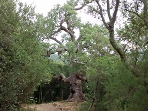
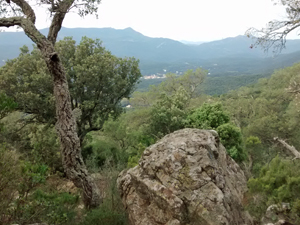
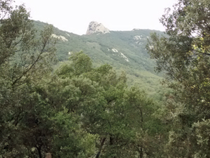
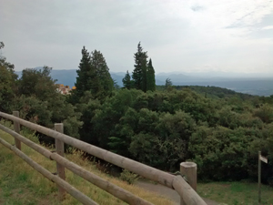
A hill walk with some interesting features and limited views of the surrounding countryside.
Spanish maps included within these descriptions are provided courtesy of the Spanish IGN and remain © Instituto Geográfico Nacional.
OSM (OpenStreetMap) and OCM (OpenCycleMap) maps are © OpenStreetMap Contributors. The OSM project welcomes contributions from all to enrich the map data, which is made freely available. Land (Thunderforest Landscape) maps are © Thunderforest based on data © OpenStreetMap contributors.
The grade of this walk is MS/A, which means
MS – Moderately Strenuous: Up to 600 metres ascent and/or no more than 15 km in length with some rough going taken at a reasonable pace.
A – All on good tracks
| Nearest town | Macanet de Cabrenys |
| Directions to start |
From Figueres just to the E of the AP7 motorway in Catalunya, take the N11 N out of the town and follow this through Els Hostallets and Port de Molins to reach a junction with the GI502. Turn L and follow this to Macanet. |
| Start point (Lat/Long) | 42.386068, 2.750523 Click here to view in Google Maps (in a new browser tab) |
| Length (km) | 19.00 |
| Ascent (metres) | 560 |
| Walking time (hours) | 3.5 |
| Total time (hours) | 5 |
| Recommendations or Restrictions | None |
Download walk descriptionDownload GPS file
Comments
GR11 – Day 45. Macanet de Cabrenys to La Jonquera — No Comments
HTML tags allowed in your comment: <a href="" title=""> <abbr title=""> <acronym title=""> <b> <blockquote cite=""> <cite> <code> <del datetime=""> <em> <i> <q cite=""> <s> <strike> <strong>