
Lleus Loop
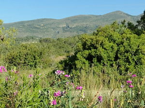
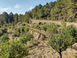
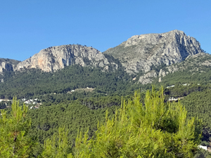
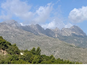
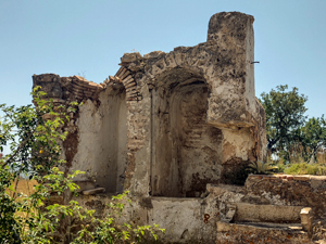
At lower end of MS grade, this new circular route combines tracks on lower part of Olta to arrive at Lleus Ermita and from there tracks in the little walked Tossal de la Rapita and Ferandet area. Good views and varied paths and tracks.
Spanish maps included within these descriptions are provided courtesy of the Spanish IGN and remain © Instituto Geográfico Nacional.
OSM (OpenStreetMap) and OCM (OpenCycleMap) maps are © OpenStreetMap Contributors. The OSM project welcomes contributions from all to enrich the map data, which is made freely available. Land (Thunderforest Landscape) maps are © Thunderforest based on data © OpenStreetMap contributors.
The grade of this walk is MS/B, which means
MS – Moderately Strenuous: Up to 600 metres ascent and/or no more than 15 km in length with some rough going taken at a reasonable pace.
B – Less than half the route on rough ground
| Nearest town | Calpe |
| Directions to start |
N332 between Calpe and Benissa. From Calpe direction just after Km172 take permitted turn L. From Benissa just after Km 173 turn R into side road and park on rough ground at LHS. |
| Start point (Lat/Long) | 38.681641, 0.037009 Click here to view in Google Maps (in a new browser tab) |
| Length (km) | 13.00 |
| Ascent (metres) | 465 |
| Walking time (hours) | 4 |
| Total time (hours) | 4.5 |
| Recommendations or Restrictions | GPS helpful and reasonable sense of navigation skill |
Download walk descriptionDownload GPS file
Comments
Lleus Loop — No Comments
HTML tags allowed in your comment: <a href="" title=""> <abbr title=""> <acronym title=""> <b> <blockquote cite=""> <cite> <code> <del datetime=""> <em> <i> <q cite=""> <s> <strike> <strong>