
Lliber Llomas de L’Agre circuit
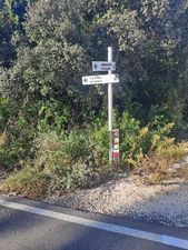
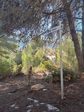
Mix of established paths, road and partly rough footpaths leading across to the summit cross of Senija passing through vineyards on the return!
Spanish maps included within these descriptions are provided courtesy of the Spanish IGN and remain © Instituto Geográfico Nacional.
OSM (OpenStreetMap) and OCM (OpenCycleMap) maps are © OpenStreetMap Contributors. The OSM project welcomes contributions from all to enrich the map data, which is made freely available. Land (Thunderforest Landscape) maps are © Thunderforest based on data © OpenStreetMap contributors.
The grade of this walk is M/B, which means
M – Moderate: up to 12km in length, less than 400 metres ascent and less than 50% rough going.
B – Less than half the route on rough ground
| Nearest town | Lliber |
| Directions to start |
Lliber village is in Jalon Valley on CV 750 between Senija and Jalon. Parking is in the rastro site (S) below the village. The walk commences from the square in the upper part of the village. |
| Start point (Lat/Long) | 38.742896, 0.006127 Click here to view in Google Maps (in a new browser tab) |
| Length (km) | 10.00 |
| Ascent (metres) | 260 |
| Walking time (hours) | 3.25 |
| Total time (hours) | 4.25 |
| Recommendations or Restrictions | None |
Download walk descriptionDownload GPS file


Comments
Lliber Llomas de L’Agre circuit — No Comments
HTML tags allowed in your comment: <a href="" title=""> <abbr title=""> <acronym title=""> <b> <blockquote cite=""> <cite> <code> <del datetime=""> <em> <i> <q cite=""> <s> <strike> <strong>