
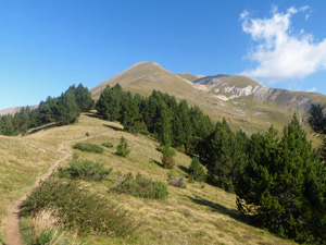
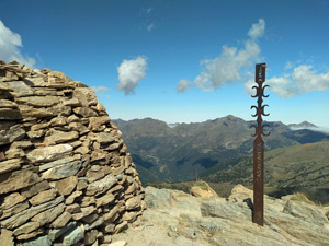
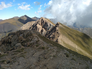
Pic de Casamanya from Col d’Ordino
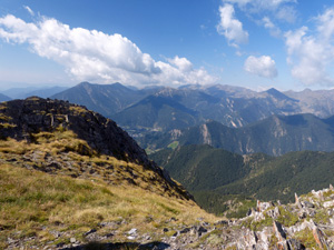
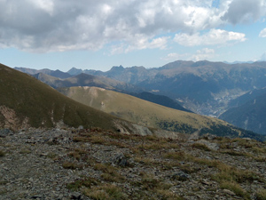
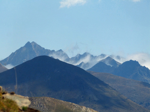
A stiff pull at altitude up a long and open ridge with extensive views across much of the Pyrenees from the summit.
Spanish maps included within these descriptions are provided courtesy of the Spanish IGN and remain © Instituto Geográfico Nacional.
OSM (OpenStreetMap) and OCM (OpenCycleMap) maps are © OpenStreetMap Contributors. The OSM project welcomes contributions from all to enrich the map data, which is made freely available. Land (Thunderforest Landscape) maps are © Thunderforest based on data © OpenStreetMap contributors.
The grade of this walk is S/B, which means
S – Strenuous: More than 600 metres ascent and/or more than 15km in length with steep, loose or heavily vegetated sections.
B – Less than half the route on rough ground.
| Nearest town | Meritxell |
| Directions to start | |
| Start point (Lat/Long) | 42.556147, 1.571691 Click here to view in Google Maps (in a new browser tab) |
| Length (km) | 7.50 |
| Ascent (metres) | 640 |
| Walking time (hours) | 3 |
| Total time (hours) | 4.5 |
| Recommendations or Restrictions | The CG2 is the main road through Andorra arriving from Spain in the south and continuing to exit into France in the north. Driving past all the major towns you eventually arrive at Canillo ad here turn L at a roundabout at a Total petrol station and here turn L. Follow the road up through zig-zags to finally arrive at the col with a car park for about 20 cars just as you start to descend. Alternatively take the same road from Ordino town towards Canillo. |
Download walk descriptionDownload GPS file
Comments
Pic de Casamanya from Col d’Ordino — No Comments
HTML tags allowed in your comment: <a href="" title=""> <abbr title=""> <acronym title=""> <b> <blockquote cite=""> <cite> <code> <del datetime=""> <em> <i> <q cite=""> <s> <strike> <strong>