
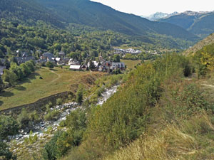
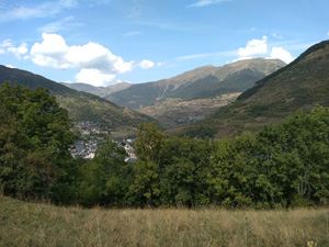
Camino Royal from Salardu to Betren
An interesting walk down the valley exploring village footpaths and the villages of the valley. More ascent than you might expect!
Spanish maps included within these descriptions are provided courtesy of the Spanish IGN and remain © Instituto Geográfico Nacional.
OSM (OpenStreetMap) and OCM (OpenCycleMap) maps are © OpenStreetMap Contributors. The OSM project welcomes contributions from all to enrich the map data, which is made freely available. Land (Thunderforest Landscape) maps are © Thunderforest based on data © OpenStreetMap contributors.
The grade of this walk is M/A, which means
M – Moderate: up to 12km in length, less than 400 metres ascent and less than 50% rough going.
A – All on good tracks
| Nearest town | Salardu |
| Directions to start |
From Vielha in the heart of the Pyrenees take the C28 E up along the Val d’Aran to reach the village of Salardu. At a roundabout turn L towards car park 1 and park here. |
| Start point (Lat/Long) | 42.707593, 0.903209 Click here to view in Google Maps (in a new browser tab) |
| Length (km) | 13.50 |
| Ascent (metres) | 390 |
| Walking time (hours) | 3.33 |
| Total time (hours) | 4.5 |
| Recommendations or Restrictions | None |
Download walk descriptionDownload GPS file
Comments
Camino Royal from Salardu to Betren — No Comments
HTML tags allowed in your comment: <a href="" title=""> <abbr title=""> <acronym title=""> <b> <blockquote cite=""> <cite> <code> <del datetime=""> <em> <i> <q cite=""> <s> <strike> <strong>