
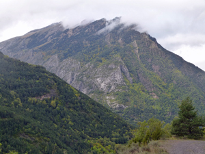
Punta de Cuchecho
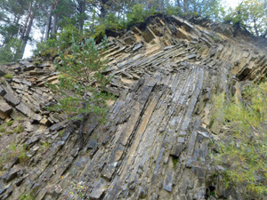
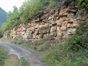
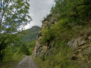
A “warm up” walk along forest tracks and footpaths near the river with occasional great views across the valley.
Spanish maps included within these descriptions are provided courtesy of the Spanish IGN and remain © Instituto Geográfico Nacional.
OSM (OpenStreetMap) and OCM (OpenCycleMap) maps are © OpenStreetMap Contributors. The OSM project welcomes contributions from all to enrich the map data, which is made freely available. Land (Thunderforest Landscape) maps are © Thunderforest based on data © OpenStreetMap contributors.
The grade of this walk is MS/A, which means
MS – Moderately Strenuous: Up to 600 metres ascent and/or no more than 15 km in length with some rough going taken at a reasonable pace.
A – All on good tracks
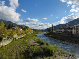
| Nearest town | Biescas |
| Directions to start |
From Zaragoza and Huesca to the S drive up the N260a to reach the outskirts of the village. Park where you can and find your way to the Ayuntamiento in the centre. |
| Start point (Lat/Long) | 42.628623, -0.321485 Click here to view in Google Maps (in a new browser tab) |
| Length (km) | 14.50 |
| Ascent (metres) | 485 |
| Walking time (hours) | 3.50 |
| Total time (hours) | 4.00 |
| Recommendations or Restrictions | None |
Download walk descriptionDownload GPS file

Comments
Punta de Cuchecho — No Comments
HTML tags allowed in your comment: <a href="" title=""> <abbr title=""> <acronym title=""> <b> <blockquote cite=""> <cite> <code> <del datetime=""> <em> <i> <q cite=""> <s> <strike> <strong>