
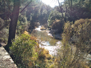
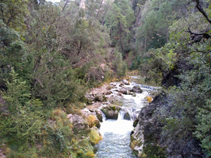
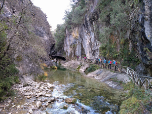
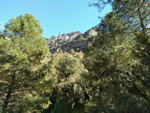
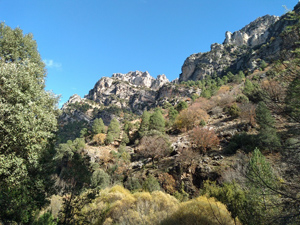
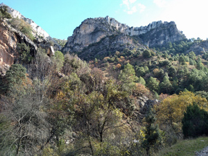
Rio Borosa
A walk up a delightful valley with ever changing scenery to reach one of several lakes, returning the same way.
A very popular walk liable to interruption at present due to remedial work following flooding (Nov ’18) Kept open at week-ends.
Spanish maps included within these descriptions are provided courtesy of the Spanish IGN and remain © Instituto Geográfico Nacional.
OSM (OpenStreetMap) and OCM (OpenCycleMap) maps are © OpenStreetMap Contributors. The OSM project welcomes contributions from all to enrich the map data, which is made freely available. Land (Thunderforest Landscape) maps are © Thunderforest based on data © OpenStreetMap contributors.
The grade of this walk is VS/A, which means
VS – Very Strenuous: More than 800 metres ascent and/or more than 20km in length with steep, loose or heavily vegetated sections.
A – All on good tracks
| Nearest town | Arroyo Frio |
| Directions to start |
From the A92N motorway which runs between Puerto Lumbreras and Granada take the A315 going N and then the A319 to arrive at Cazorla. Continue on this road through the village and on past Burunchel and further on the village of Arroyo Frio. Torre del Vinaigre on the LHS indicates the R turn necessary to drive the 2km or so to the Rio Borosa visitor centre. |
| Start point (Lat/Long) | 38.015051, -2.865022 Click here to view in Google Maps (in a new browser tab) |
| Length (km) | 25.00 |
| Ascent (metres) | 710 |
| Walking time (hours) | 5.5 |
| Total time (hours) | 6.5 |
| Recommendations or Restrictions | Torch advised for the tunnel sections. |
Download walk descriptionDownload GPS file
Comments
Rio Borosa — No Comments
HTML tags allowed in your comment: <a href="" title=""> <abbr title=""> <acronym title=""> <b> <blockquote cite=""> <cite> <code> <del datetime=""> <em> <i> <q cite=""> <s> <strike> <strong>