
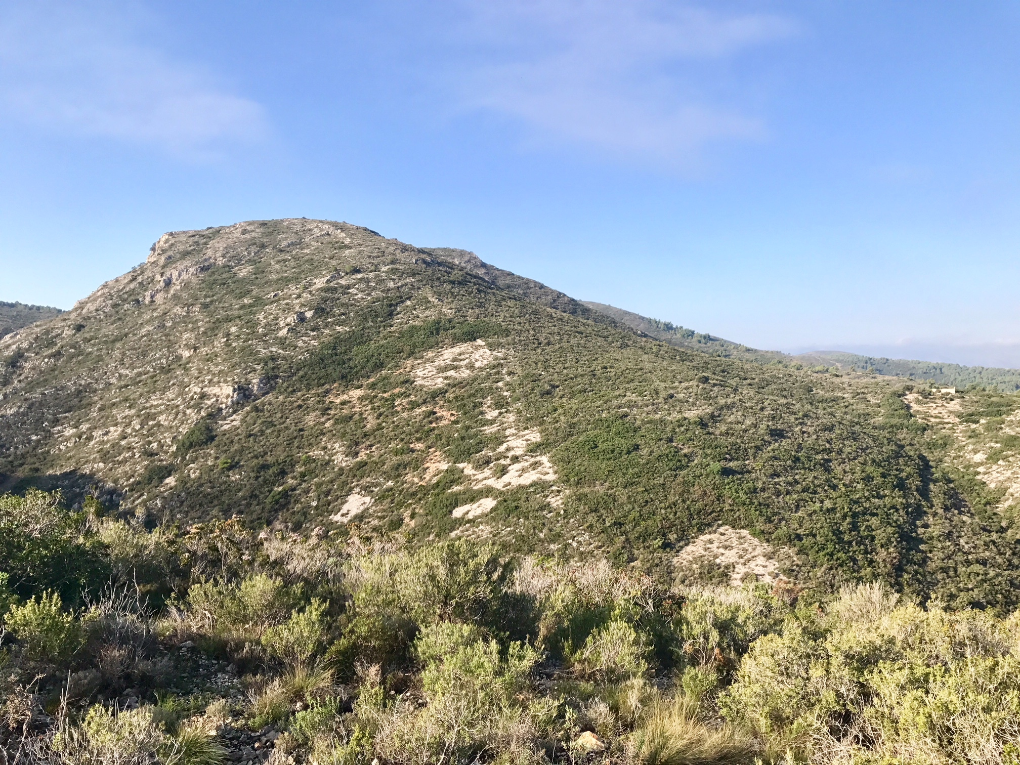
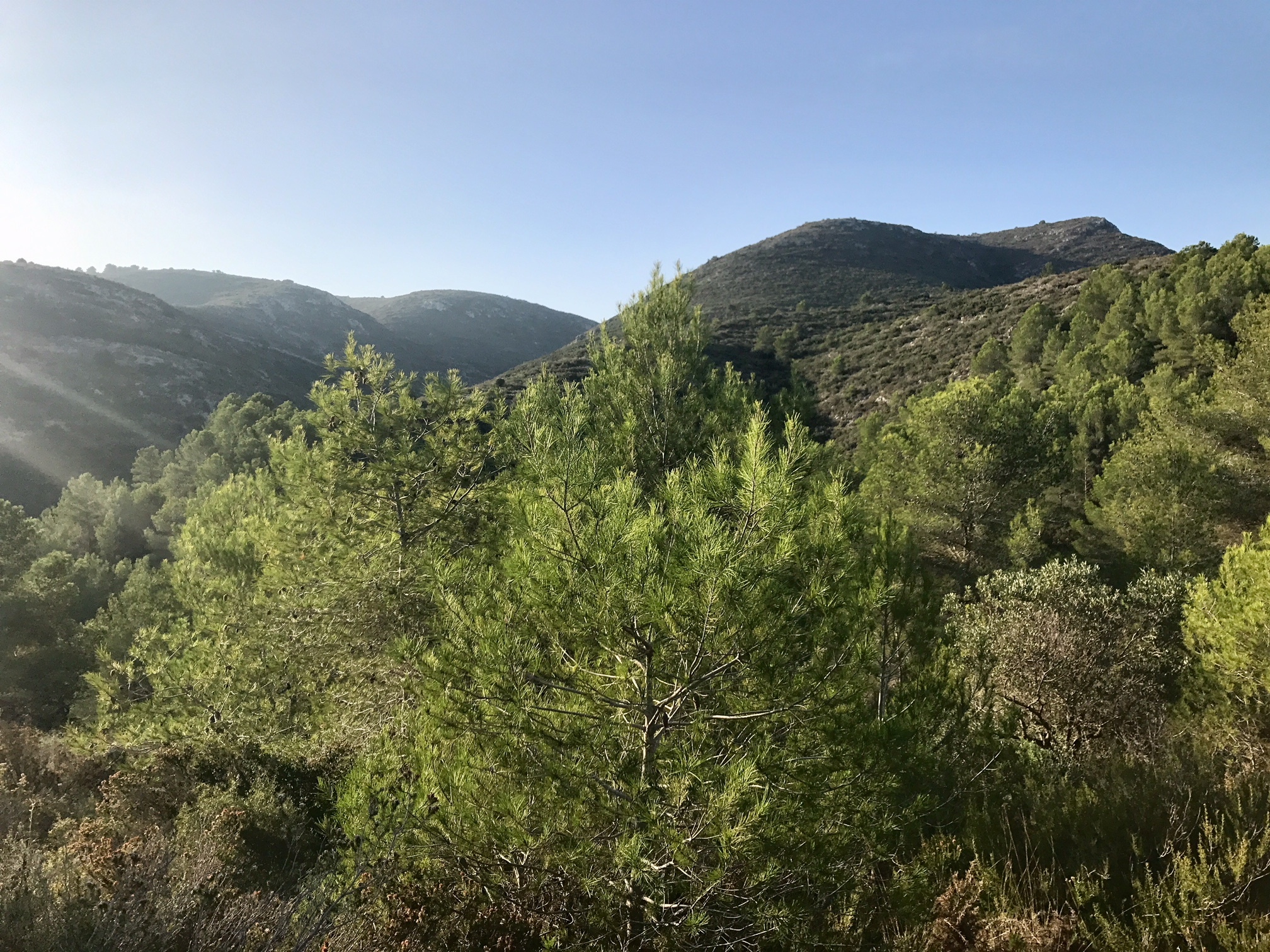
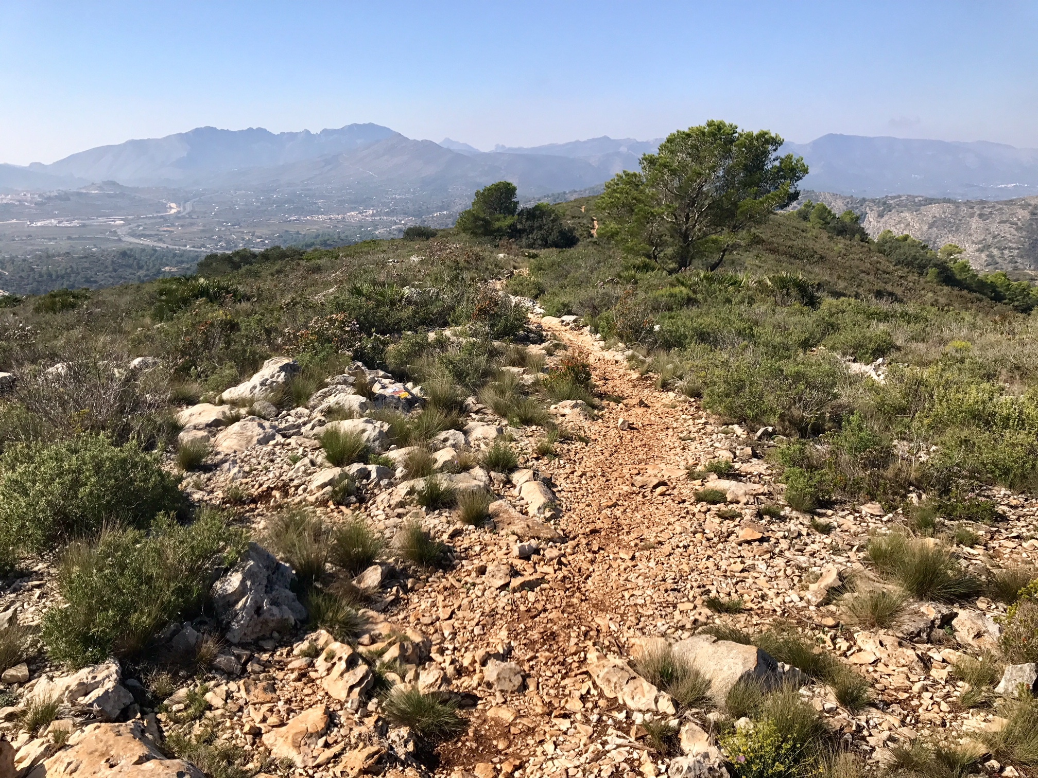
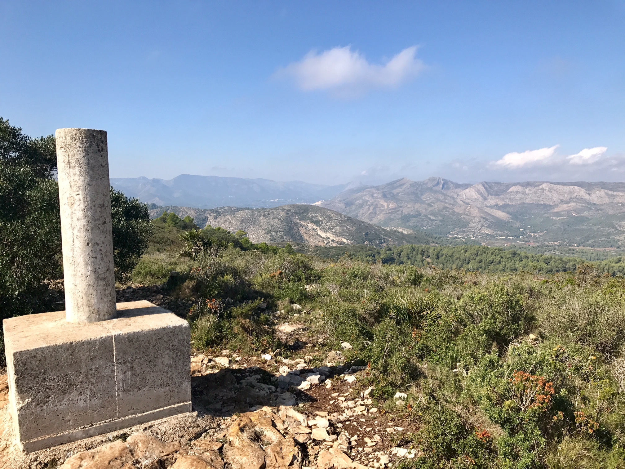
Serrellars Circuit
A clockwise circuit through delightful countryside, up the Azagador de Seldetes ridge onto the upper plateau & then to the summit. Descend via a spur to Corral de Burrell and return via farm tracks & paths. Virtually all the route is on paths and tracks, with wide ranging views.
Spanish maps included within these descriptions are provided courtesy of the Spanish IGN and remain © Instituto Geográfico Nacional.
OSM (OpenStreetMap) and OCM (OpenCycleMap) maps are © OpenStreetMap Contributors. The OSM project welcomes contributions from all to enrich the map data, which is made freely available. Land (Thunderforest Landscape) maps are © Thunderforest based on data © OpenStreetMap contributors.
The grade of this walk is MS/B, which means
MS – Moderately Strenuous: Up to 600 metres ascent and/or no more than 15 km in length with some rough going taken at a reasonable pace.
B – Less than half the route on rough ground
| Nearest town | Gata de Gorgos |
| Directions to start |
N332. At km 188.5 at edge of Gata de Gorgos (Benissa end). Turn into C’ Lepanto in front of “Muebles Monfort” keep L to cross bridge onto C’ Lepanto, follow it to ‘T’ junction. Turn L onto C’ Alcolaes. Park on gravel car park on R, opposite a school. |
| Start point (Lat/Long) | 38.771000, 0.082200 Click here to view in Google Maps (in a new browser tab) |
| Length (km) | 9.30 |
| Ascent (metres) | 470 |
| Walking time (hours) | 3 |
| Total time (hours) | 4.5 |
| Recommendations or Restrictions | The car park might be busy on school days. |
Download walk descriptionDownload GPS file
Helen & I walked this on 10/02/21. Nice walk and easy to follow, but it took us 3h 40m of walking time – to do it in 3 hours you would have to be moving fairly quickly.
Did this as part of a group of 6 yesterday and the instructions worked fine. The path referenced in the first para (15m after building) is very indistinct now, but still works!
Thank you. Lovely walk. Very helpful instructions, particularly the way to find the first path as it was overgrown and hard to see and we struggled to find the same path on the way down. Apart from that the paths were easy to find and follow.
We also took longer to do the walk – nearly 4 hours but slowed down by trying to find the paths.