
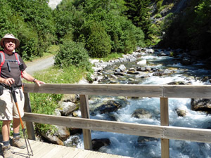
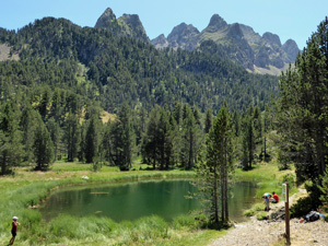
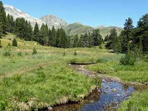
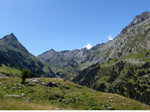
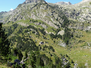
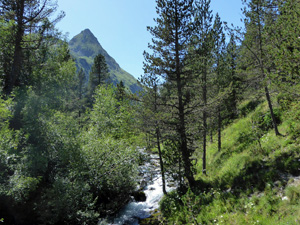
Rio Estos and Ibonet de Batisielles
A spectacular walk up the Estos Valley along GR11 before a steep climb to the small lakes -Ibonet Batissielles. The walk then undulates along the flanks of the Estos valley (GR 11.2) before dropping down to the Refugio d’Éstos and then returning back to the start via GR11.
Spanish maps included within these descriptions are provided courtesy of the Spanish IGN and remain © Instituto Geográfico Nacional.
OSM (OpenStreetMap) and OCM (OpenCycleMap) maps are © OpenStreetMap Contributors. The OSM project welcomes contributions from all to enrich the map data, which is made freely available. Land (Thunderforest Landscape) maps are © Thunderforest based on data © OpenStreetMap contributors.
The grade of this walk is VS/B, which means
VS – Very Strenuous: More than 800 metres ascent and/or more than 20km in length with steep, loose or heavily vegetated sections.
B – Less than half the route on rough ground.
| Nearest town | Benasque |
| Directions to start |
From Benasque head North Towards Hospital de Benasque on A139. After 2km there is a roundabout with a junction to the right to Cerler. Continue towards Hospital de Benasque. |
| Start point (Lat/Long) | 42.629830, 0.540550 Click here to view in Google Maps (in a new browser tab) |
| Length (km) | 20.00 |
| Ascent (metres) | 900 |
| Walking time (hours) | 6 |
| Total time (hours) | 7.5 |
| Recommendations or Restrictions | Excellent paths throughout and some water from springs. Refreshments can be had at the Refugio if it is open. |
Download walk descriptionDownload GPS file
Comments
Rio Estos and Ibonet de Batisielles — No Comments
HTML tags allowed in your comment: <a href="" title=""> <abbr title=""> <acronym title=""> <b> <blockquote cite=""> <cite> <code> <del datetime=""> <em> <i> <q cite=""> <s> <strike> <strong>