
The Ridges of Pedreguer county
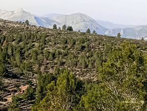
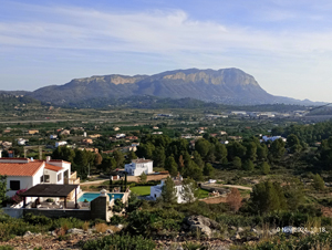
A horseshoe route over 2 of Pedreguer’s unwalked ridges. An easy track start leads on to a rough but clear path which improves as we progress before descending along a ridge line with open views of Montgo and Segaria.
Spanish maps included within these descriptions are provided courtesy of the Spanish IGN and remain © Instituto Geográfico Nacional.
OSM (OpenStreetMap) and OCM (OpenCycleMap) maps are © OpenStreetMap Contributors. The OSM project welcomes contributions from all to enrich the map data, which is made freely available. Land (Thunderforest Landscape) maps are © Thunderforest based on data © OpenStreetMap contributors.
The grade of this walk is M/C, which means
M – Moderate: up to 12km in length, less than 400 metres ascent and less than 50% rough going.
C – More than half the route on rough ground
| Nearest town | Pedreguer |
| Directions to start |
From the CV732 turn in to Carrer de Mexic. Park as soon as you can or continue a few meters downhill and turn L into Carrer Josep de la Tona and park along here. |
| Start point (Lat/Long) | 38.792900, 0.040360 Click here to view in Google Maps (in a new browser tab) |
| Length (km) | 8.00 |
| Ascent (metres) | 340 |
| Walking time (hours) | 3 |
| Total time (hours) | 4 |
| Recommendations or Restrictions | None |
Download walk descriptionDownload GPS file
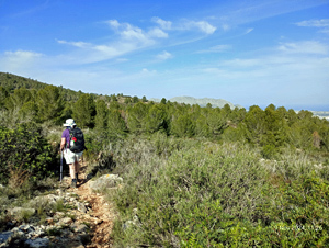
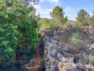
Great walk, with 98% on trails.
Tough start up the mountain but the views take your mind off it. There are a lot of different clear paths up the hill, so I’d reccommend using the GPS file & keeping a close eye on where you’re going.
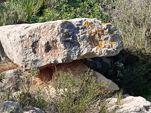
The rocky section at the top has no clear path but there are 2-3 wooden poles within 15m of each other, so just head for them & you won’t go wrong.
The section from 4.3km is partially overgrown for 600m or so, which makes it slow going because you can’t really see the sharp rocks underneath the vegetation.
Long trousers reccommeneded – not terrible but a bit scratchy in places.