
Banos de Benasque from Llanos de Benasque
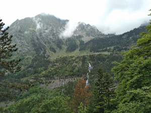
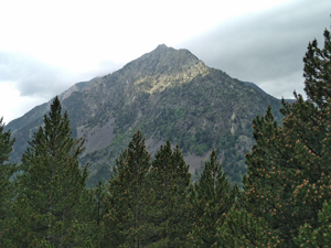
A good wet weather or short day alternative with good views across the valley on the return.
Spanish maps included within these descriptions are provided courtesy of the Spanish IGN and remain © Instituto Geográfico Nacional.
OSM (OpenStreetMap) and OCM (OpenCycleMap) maps are © OpenStreetMap Contributors. The OSM project welcomes contributions from all to enrich the map data, which is made freely available. Land (Thunderforest Landscape) maps are © Thunderforest based on data © OpenStreetMap contributors.
The grade of this walk is M/B, which means
M – Moderate: up to 12km in length, less than 400 metres ascent and less than 50% rough going.
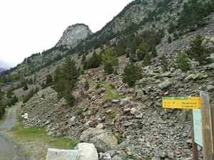
B – Less than half the route on rough ground
| Nearest town | Benasque |
| Directions to start |
The N260 runs E-W along the central part of N Spain. From this find the A139 heading N to Benasque. Follow this road past Benasque for several kilometers to reach a turning on the R signed to Hospital de Benasque. Take this road past to a large parking are on the LHS. Park here. |
| Start point (Lat/Long) | 42.681824, 0.604290 Click here to view in Google Maps (in a new browser tab) |
| Length (km) | 7.00 |
| Ascent (metres) | 265 |
| Walking time (hours) | 2 |
| Total time (hours) | 2.5 |
| Recommendations or Restrictions | None |
Download walk descriptionDownload GPS file
There is no way I could do this walk in 2 hours even when I was fitter!
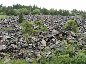
About 2km into the walk you will pass a spur to the right shown as a botanical trail. This path drops down to the valley base and its river, but you can go down it for a short way and come back by a different path. The path is quite delightful and well constructed with bridges over the mountain streams. It makes an interesting a shady diversion.